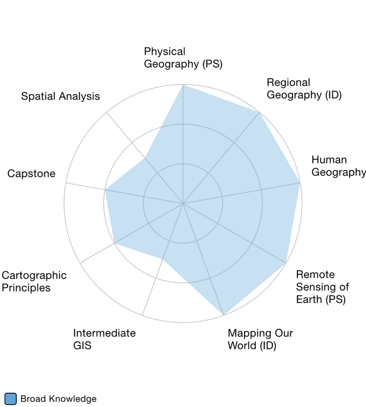
broad/integrative knowledge
 CLICK ON IMAGE
A major portion of the Geography AS degree at SLCC has a general education focus. Therefore, another goal of the program is to help students recognize the geographic and spatial knowledge and applications throughout their general education experience. To accomplish this, the department considered a variety of options including capstone possibilities. A major roadblock to providing capstone experiences for students is that the college currently doesn’t have General Education capstone courses to implement; however, SLCC does require all general education courses to implement ePortfolio signature assignments and course reflection. These assignments and reflections are intended to function as capstone course-level experiences for students. The goal is to extend and adapt an ePortfolio requirement to a program-level experience.
Ultimately, the department chose to use the special topics course, titled Geography Capstone, as the mechanism for program-level ePortfolio and capstone learning. Students taking this course will learn about the core theories of geographic science from the physical and cultural sub-disciplines of the profession. Along with geographic and spatial theory, the course would focus on how geospatial technology is used to advance scientific and spatial knowledge in the larger community. Additionally, the department created a series of assignments and reflective writing opportunities for students in the capstone course to make connections between their general education and other lived experiences. Most of these assignments are grounded in teaching and learning geospatial skill by having students use mapping technologies such as ArcGIS Online, Google Earth, or open source technologies like OpenStreetMap. Thus, the Geography Capstone invites students to produce and organize a collection of artifacts that showcases their experiences in their general education and program-level coursework.
Ultimately, the department chose to use the special topics course, titled Geography Capstone, as the mechanism for program-level ePortfolio and capstone learning. Students taking this course will learn about the core theories of geographic science from the physical and cultural sub-disciplines of the profession. Along with geographic and spatial theory, the course would focus on how geospatial technology is used to advance scientific and spatial knowledge in the larger community. Additionally, the department created a series of assignments and reflective writing opportunities for students in the capstone course to make connections between their general education and other lived experiences. Most of these assignments are grounded in teaching and learning geospatial skill by having students use mapping technologies such as ArcGIS Online, Google Earth, or open source technologies like OpenStreetMap. Thus, the Geography Capstone invites students to produce and organize a collection of artifacts that showcases their experiences in their general education and program-level coursework.
DQP Indicators for Broad and Integrative Knowledge
At the associate's level, students pursuing a degree in Geography will:
- Describe how existing knowledge or practice is advanced, tested, and revised through the scientific method and geographic inquiry.
- Describe and examines a range of perspectives on key issues related to physical and cultural geography.
- Apply mapping technology to analyze core concepts related to geography.
- Describes and evaluate the ways in which Geography is related to another field of study and how the two interrelate in science, society, economic life, and technology.
- Produce an investigative work drawing on specific theories, tools, and methods from the field of Geography and another field of study.
- Define a problem important to the field of Geography, justify the significance of the problem in a wider societal context, and explains how methods from Geography and another field of study can be used to address or solve the problem.
- Articulate how Geography has developed in relation to other major domains of inquiry and practice.
- Designs and execute an applied, investigative work that draws on the perspectives and methods of Geography and another field of study, and assesses the resulting advantages and challenges of including these perspectives and methods.
- Articulate and defend the significance and implications of the work in Geography in terms of challenges and trends in a physical, environmental, or cultural context.
The bulleted indicators listed above for each level of academic pursuit are just slightly modified from the DQP by the Geography program to align better with the discipline. There is no direct intent on the program determining what should or should not be taught at the 4-year institutions. The goal is to start a conversation within the State of Utah and nationally on what all three levels should look like.
Open Source eTextbooks
|
Introduction to Geographic Science
Physical Geography: An Introduction to the Physical Earth Introduction to Geospatial Technology (coming soon) |
Human Geography: Human Aspects of Living on Earth
Natural Hazards and Disasters Remote Sensing of Earth (coming soon) |
NOTE: More signature assignments will be developed over the coming years that align with this core indicator of the DQP. All assignments licensed as Creative Commons Attribute-ShareAlike will be stated.
Signature Assignments
Coming soon... Signature assignments will be developed over the coming years that align with this core indicator of the DQP. All assignments will be licensed as Creative Commons Attribute-ShareAlike.
program-level showcase
With student permission, the Geography program plans to showcase student artifacts demonstrating how students have acquired broad, integrative knowledge while going through the program.
